Trail Stats
- Duration
- 2.5–3h
- Distance
- 4.5 mi
- Elevation
- 941 ft
- Route Type
- Loop
Best Season
Mar – Nov
About this Trail
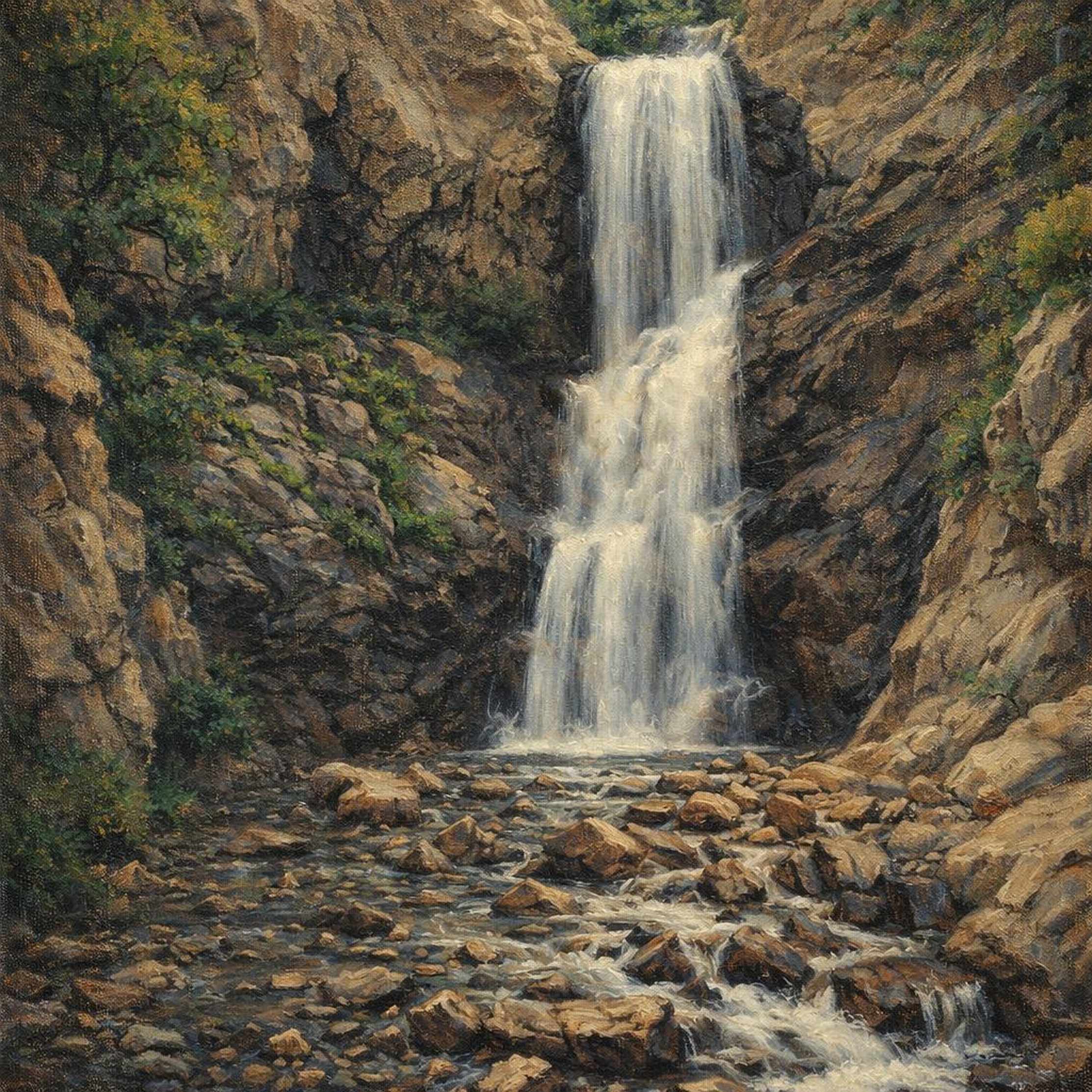
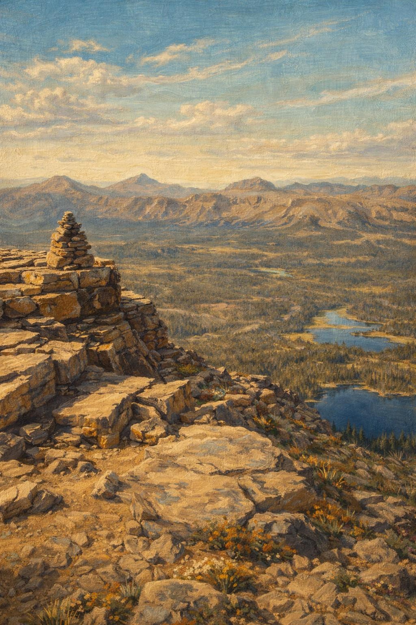
High alpine circuit at 10,800 feet links five pristine mountain lakes beneath dramatic granite peaks. Scenic overlooks reveal vast Uinta wilderness stretching endlessly beyond.
Trail Notes
- Not safe during thunderstorms; exposed at 10,800 ft
- Hwy 150 closes late Oct–May
- Steep rocky sections
Photos from the community